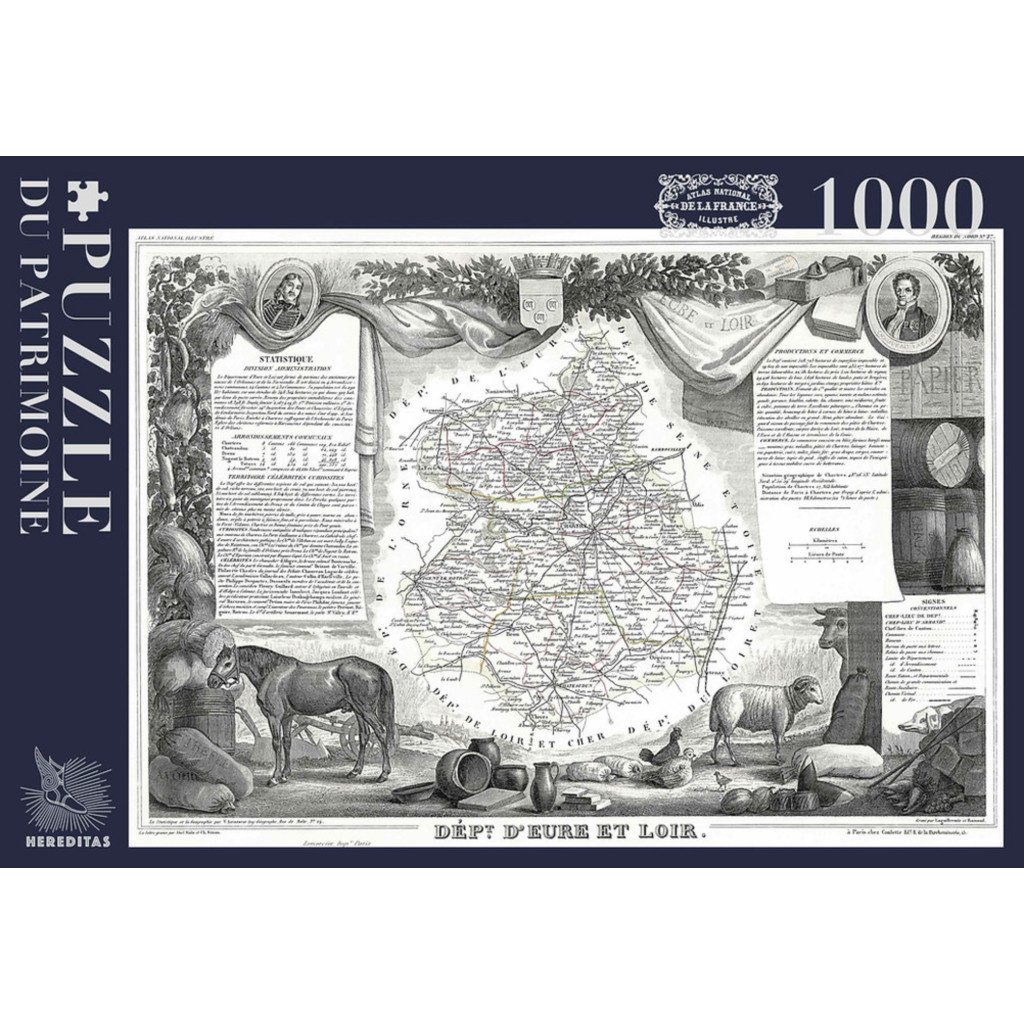
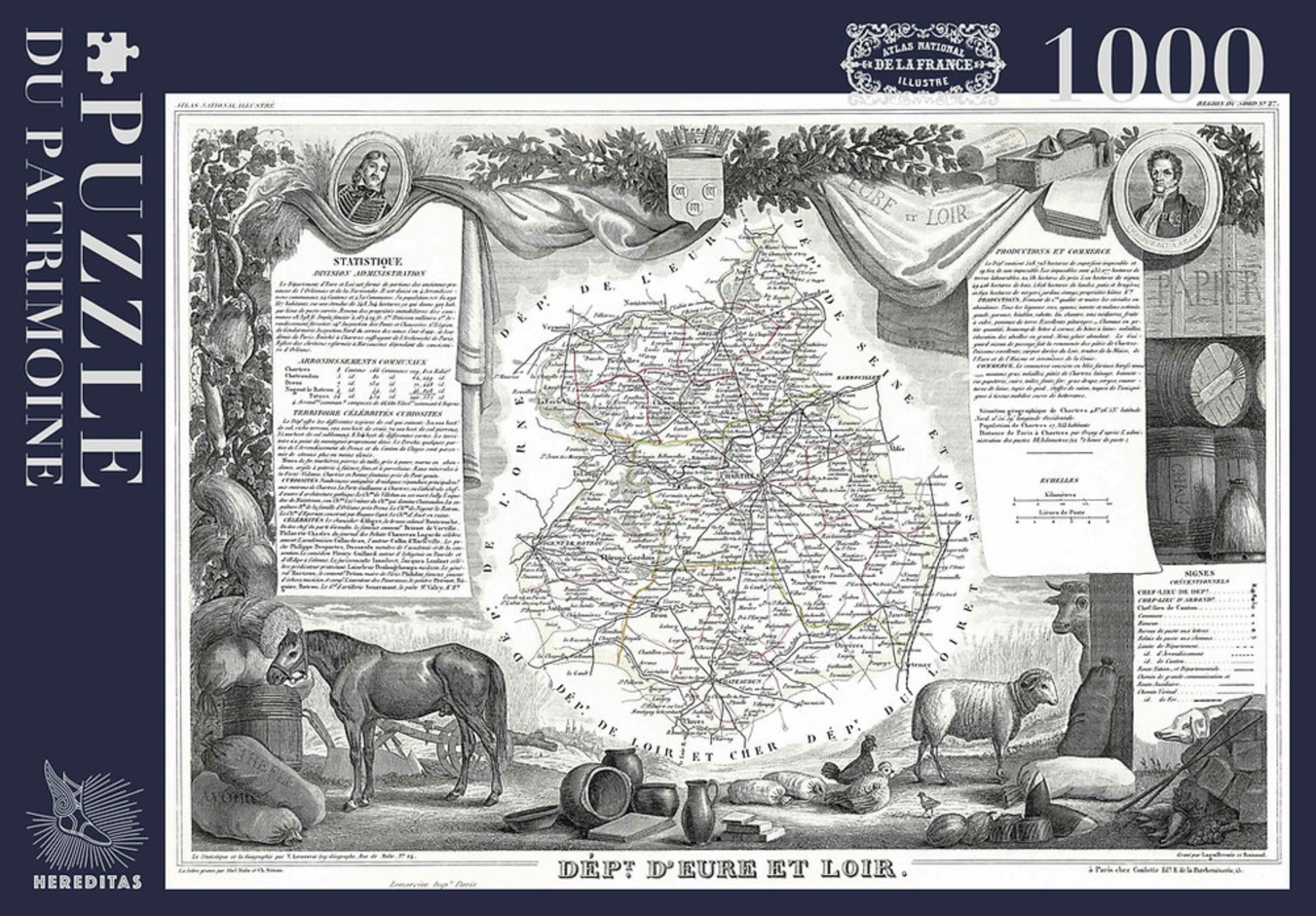
Discover the charm of the Beauce and Perche regions through this delicate antique map of the Eure-et-Loir department, taken from Levasseur’s *Atlas national illustré de la France* (National Illustrated Atlas of France), engraved in the 19th century.
The illustration depicts the department with its roads, communes, and boundaries finely traced and accented with touches of color. Chartres, Dreux, Châteaudun, and Nogent-le-Rotrou appear amidst a rich engraved backdrop: a horse, a sheep, a cow, chickens, sacks of grain, pottery, and barrels—all evoking the region’s agricultural wealth—while coats of arms, two medallion portraits, and grand draped fabrics complete the composition. Along the sides, notes on statistics, local produce, and points of interest, as well as a legend for the symbols used, testify to the meticulous care put into this work.
Its refined graphic style and subtle shades of gray make this map a true testament to French cartographic heritage and the art of engraving.
This 1000-piece puzzle offers a captivating challenge, thanks to its wealth of detail, fine lines, and tiny place names.
An ideal creation for those who love the Beauce region, cartography, and antique engravings.
Once assembled, it becomes a stunning decorative piece that celebrates the rich heritage of the Eure-et-Loir department.
Technical specifications:
- 1,000 pieces,
- Finished puzzle size: 48 x 68 cm,
- Box dimensions: 34 x 24 x 5 cm,
- Soft-touch finish,
- Matte finish,
- Cotton pouch,
- Poster included,
- 0% plastic.