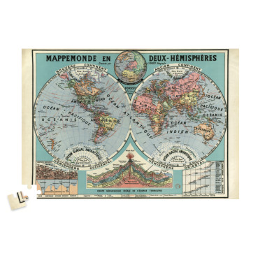
1500-piece puzzle, dimensions when completed: 61 cm x 85 cm, ages 14 and up. Includes an A4 poster to guide you.
Made in Holland from 100% recycled cardboard, FSC-certified paper, and printed with vegetable-based inks.
Warning: contains small detachable parts that could be swallowed by children under 3 years of age.
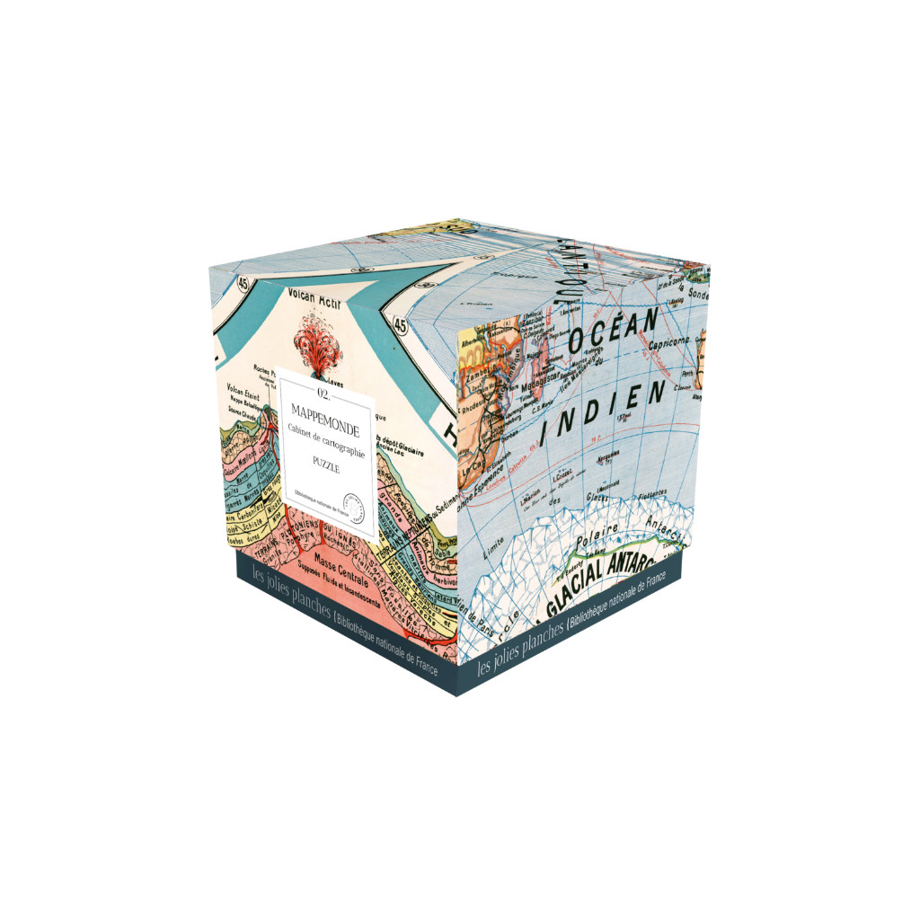
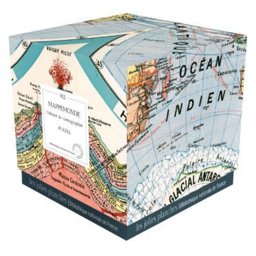
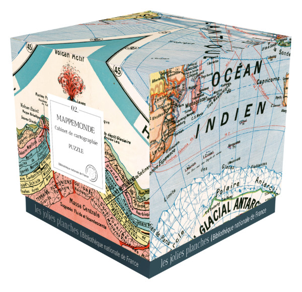
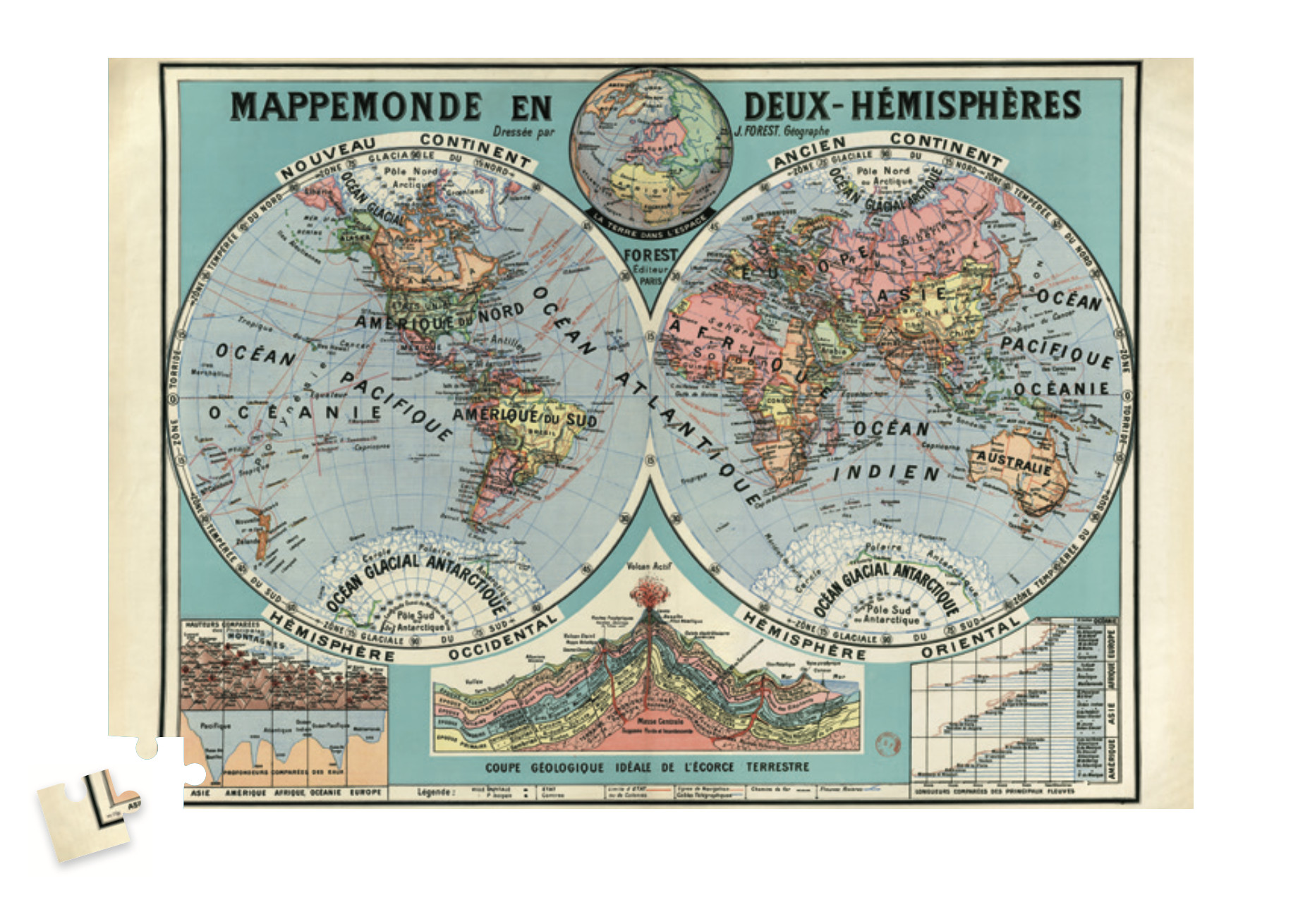
This terrestrial planisphere puzzle shows the two hemispheres, western and eastern, of the Earth as seen from space. This beautiful antique map also features a geological cross-section of the Earth's crust, the heights of mountains and lengths of rivers around the world compared, and the depths of the seas. Its author, Joseph Forest, was a French geographer and cartographer who founded a publishing house specializing in maps and plans, approved by the Ministry of Public Instruction, which supplied schools from 1889 onwards.
© Bibliothèque nationale de France, Paris. Maps and Plans Department.