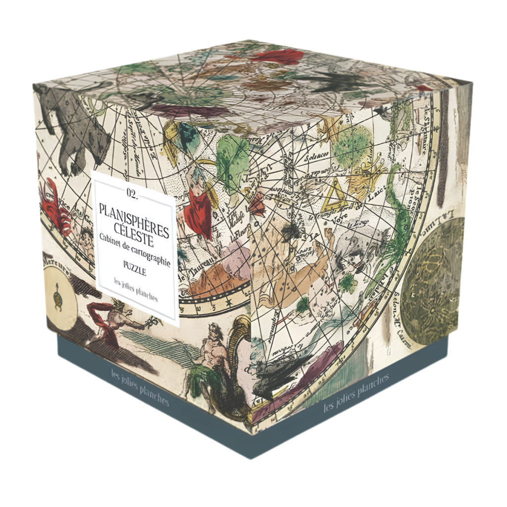
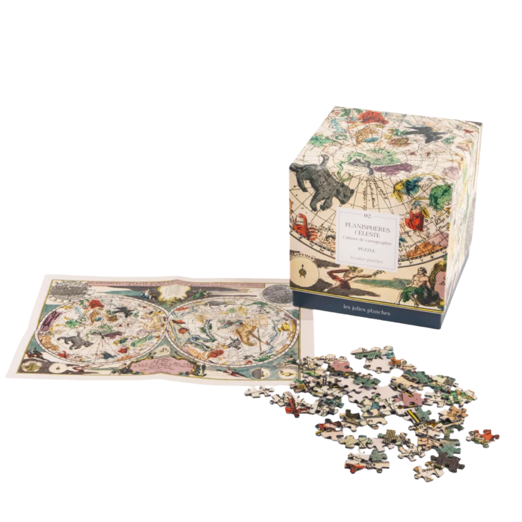
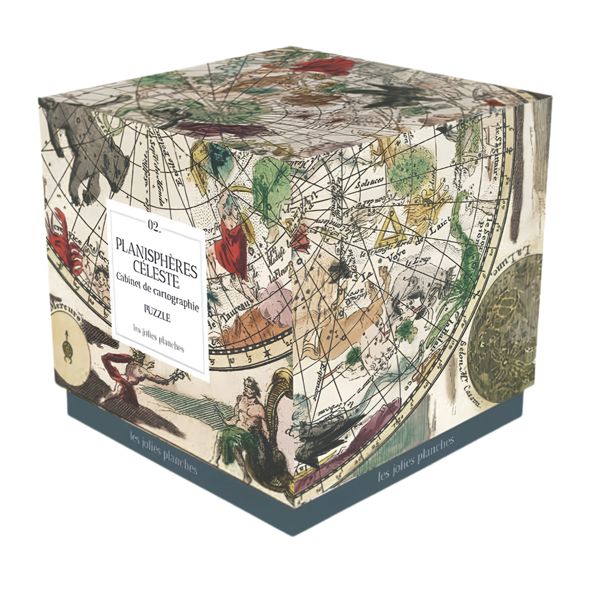
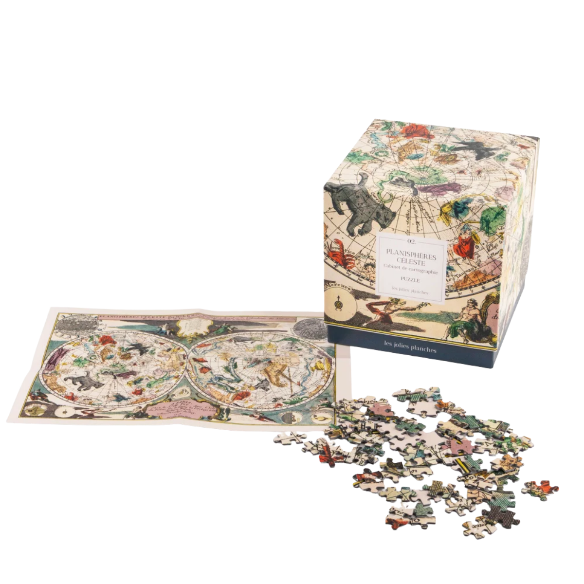
This ‘Planisphères Céleste’ map, created by the engraver and cartographer Nicolas de Fer and published in 1705 in *L’Atlas curieux*, invites you to discover the full beauty of early 18th-century astronomical cartography. It reveals the celestial sphere through two richly ornamented and highly precise planispheres. The constellations, depicted alongside a profusion of mythological figures, blend science and art. A true heritage treasure, this iconic map embodies the elegance of the Enlightenment and the timeless fascination with the mysteries of the heavens.
© David Rumsey Map Collection, David Rumsey Map Centre, Stanford Libraries.
Dimensions: 47.8 cm × 69 cm. This attractive square box contains 1,500 pieces as well as an A4-sized poster to guide you.
Made in the Netherlands from 100% recycled cardboard and FSC®-certified paper, and printed with vegetable-based inks.